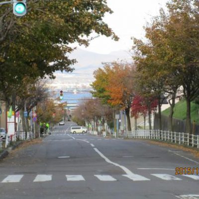
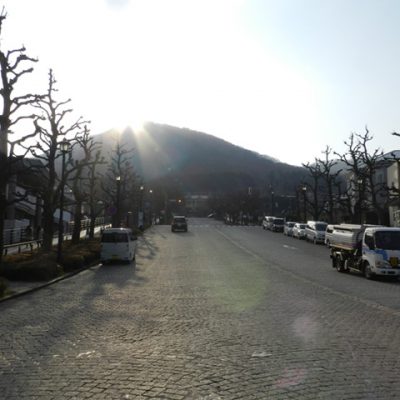
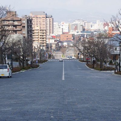
Gokoku Jinjazaka slope

Horaicho, Hakodate, Hokkaido
From Tram "Hourai-cho" about 2 minutes on foot
* Business days and hours are subject to change due to the influence of Novel Cornavirus (COVID-19).
Share this article
QR code for this article
* Business days and hours are subject to change due to the influence of Novel Cornavirus (COVID-19).
Share this article


QR code for this article
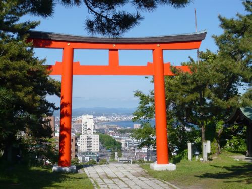
One of Hakodate 18 slope.
It is in the western part of Hakodate, a slope connecting Mt.Hakodate Foothills with Hakodate Port.
A slope leading to the Gokoku shrine.